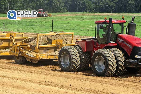
INDUSTRY LEADING LANDFORMING
Proven survey, field design and landforming with GNSS accuracy.
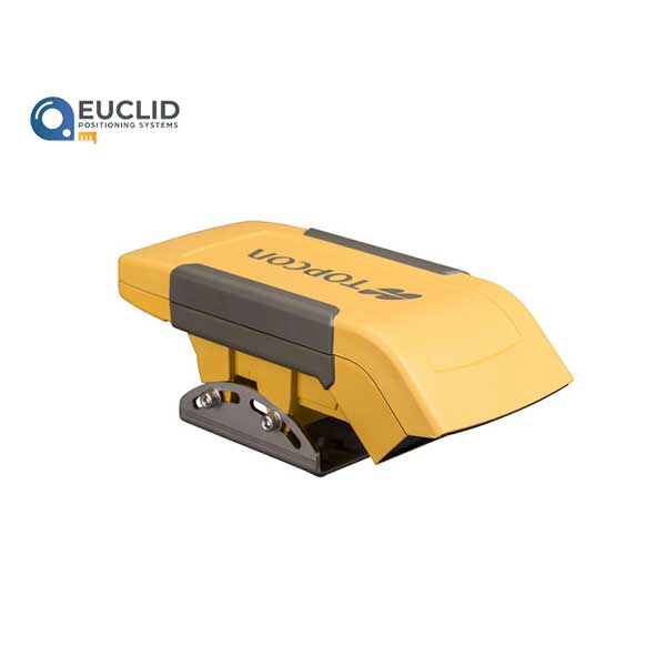
Topcon offers dual-constellation (GPS + GLONASS) satellite reception for maximum accuracy with single or dual scraper control, plus the ability to grade more than 12,000 acres in a single setup.
The GNSS system offers continuous 24/7 operation and can work in wind, dust, fog and other environmental conditions where lasers have challenges.
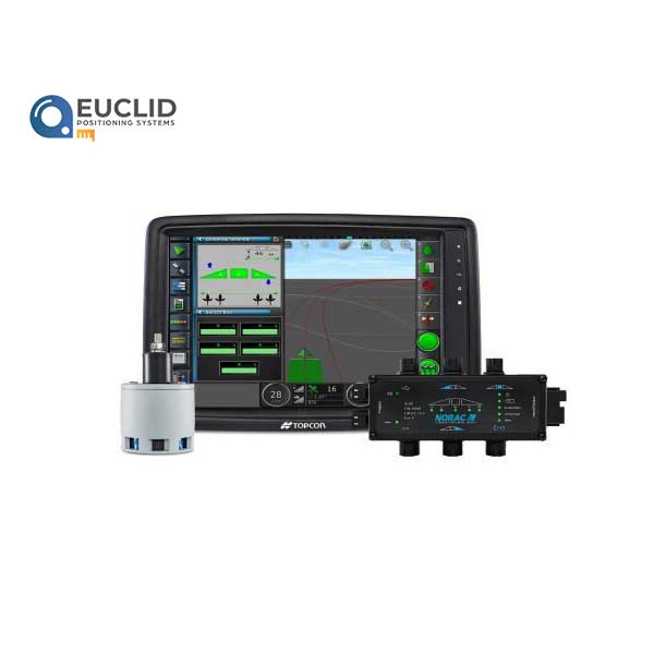
The Topcon GNSS solution allows the operator to survey, create cut/fill maps and start grading without ever leaving the cab. Best-fit calculations reduce yardage up to 10% versus traditional hand-calculated laser surveys.