- Home
- Products
- Softwares
- Office Software and Services
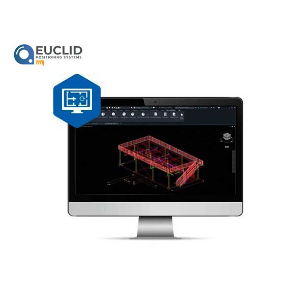
- TOPCON MAGNET Survey
Smart processing and field-to-finish
Draft and design property plots, subdivision designs and land-development projects. Process data within an intuitive drafting environment and create simplified or detailed drawing layouts. Prepare and share your survey data to deliver for use by civil engineers, land surveyors or machine operators in the field.
- Full range of sub-division design tools
- Contour and surface creation, volumetrics and automated pad design
- User-defined title blocks, symbols and linetypes
- Includes MAGNET Tools processing and reporting software
- Secure, direct MAGNET Enterprise connectivity for team collaboration
Be the first to review “TOPCON MAGNET Survey” Cancel reply
Related products
-
Agriculture GNSS and Guidance
Topnet Live
Topnet Live is a real-time GNSS correction service that provides high-quality data to GNSS receivers for global applications in surveying, construction, OEM, system integrators, GIS, mapping, and agriculture. It has complete compatibility with all brands of network-capable rovers.
Reviews
There are no reviews yet.