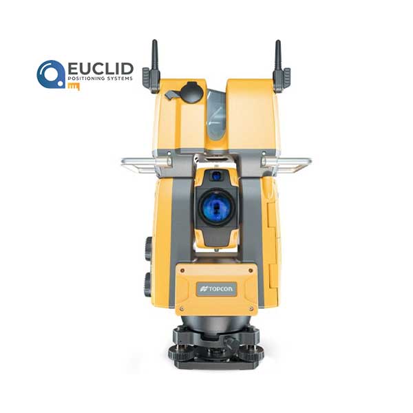
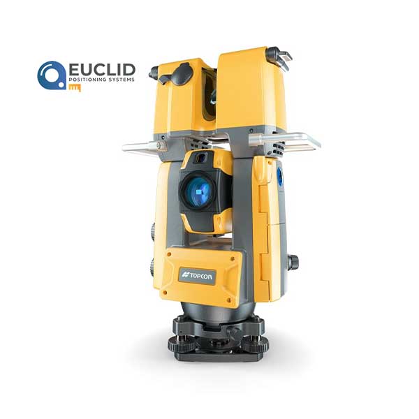
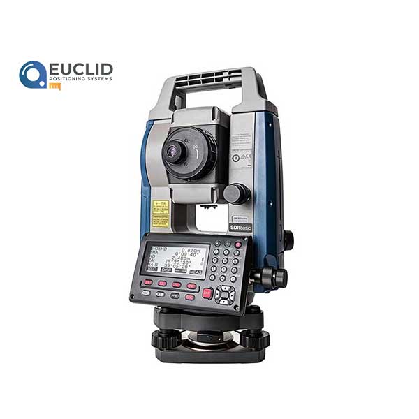
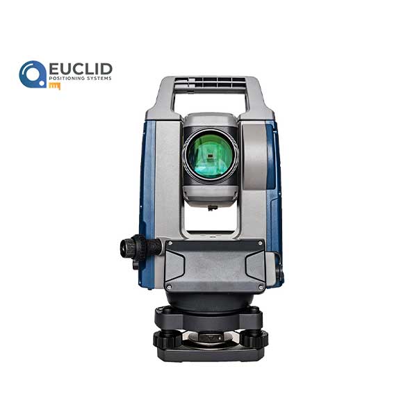
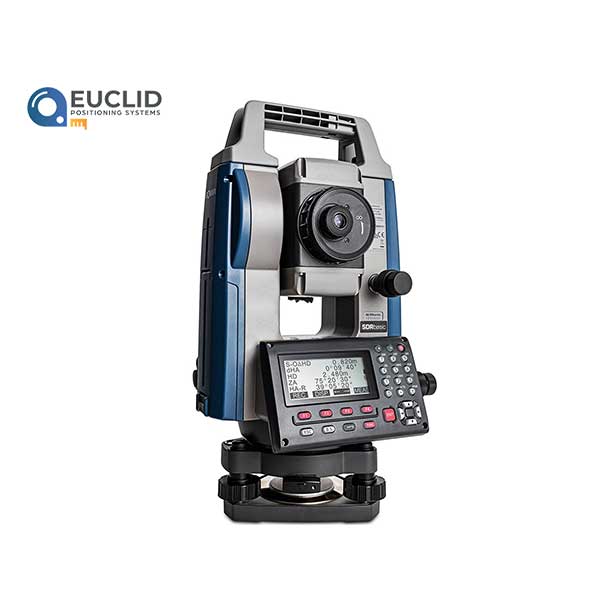
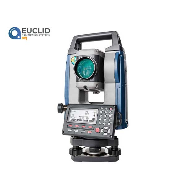
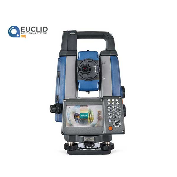
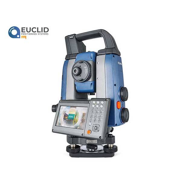
Construction Verification Every Day GTL-1200
- Quick layout and scanning with a single instrument
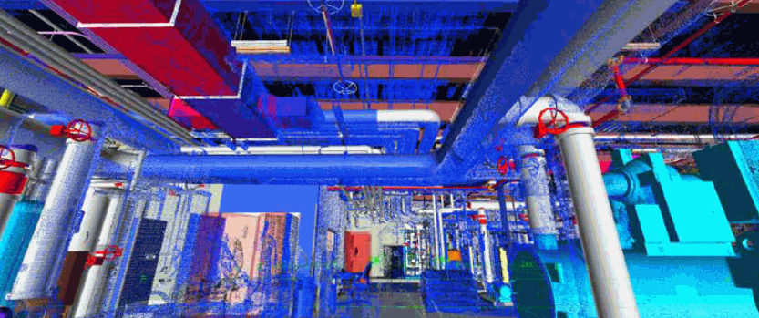
- Wi-Fi enables point clouds to be transmitted wirelessly
- Proven robotic total station design, integrated with a scanner
- Full dome scan in seconds, now with 2x point cloud resolution
- Scan density tailored to minimize software processing time
- Point clouds accurately matched to BIM model coordinates
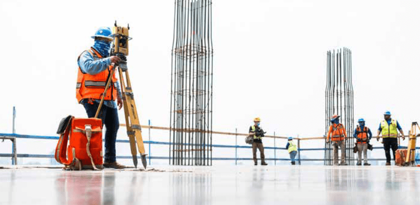
With this new instrument, one person can cut the time of a conventional topo in half and we no longer have to do the extra day of time and labor for that floor flatness and floor levelness report. That translates to a savings of around 60% in labor costs per pour.



Reviews
There are no reviews yet.